Weather and Light Pollution
The weather in the South East US can be unpredictable or in the mid to later Summer stagnant. The heat and humidity this time of year is almost unbearable and when it comes to Astrophotography almost impossible.
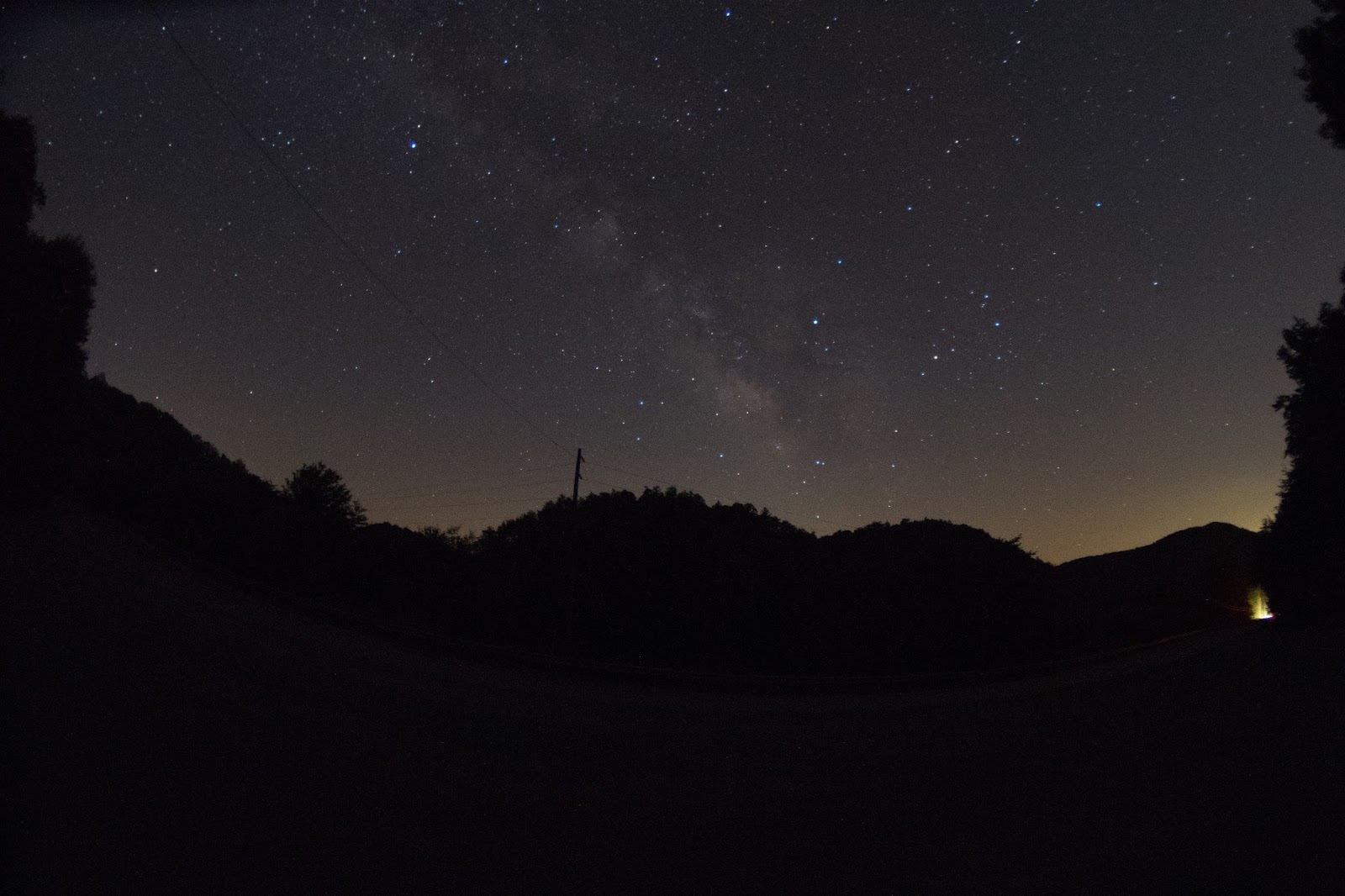
The photo above was taken in mid July on a normal hot and humid summer night in North Georgia. Notice the amount of light pollution, this is due to low level moisture in the atmosphere. Also this is a moonless night so the amount of L.P. should be lower.... WRONG!! The lights of Chatsworth Ga are to the right and lighting up the sky and the same with the lights from the Metro Atlanta area on the right of the photo. I start planning a few days out when I shoot the Milky Way. I look for cold fronts in and around the time of a new Moon. Cold fronts will in most cases clear the air and drop the moisture content of the air. The most constant time to shoot the Milky Way is late August through November due to the constant and sometimes daily cold fronts that sweep through the southern US.

The photo above was taken in late June. Wait.... I said "September to November" before. Sometimes the rules don't always apply. This was takes after a cold front had made its way south which is rare in the Summer months in Northern Georgia. I Started looking a the weather a week or so out to try and get a feel of what was going to happen. I know weather predictions are more than likely wrong but as a Meteorologist dose I adjust my timing and positions. This photo was shot closer to light polluted areas than the first. the only difference is the low level moisture was below 40%. Even though 40% isn't New Mexico dry its still not bad.

OK we have disgust humidity and the role it plays in Nightscapes and Astrophotography. Now Ii will talk about "Dew Point". Dew point is the point at which the lower level atmosphere can maintain water vapor. The dew point will always be higher than the current air temp example today the temp is 88F and the dew point is 76F. What this means is if the air cooled closer to the 76F range humidity in the lower levels will rise. When the air temp drops close to the dew point, dew condensation will form. This is not a bad thing, it will help lower the humidity in the lower levels of the atmosphere. The photo above was taken in early July around 2am. Earlier that day the temp was 87F and humidity was 73% hot and sticky. What helped was the dew point dropped to 50% after a front had moved through. The air temp that night dropped to 61F and combined with the lower dew point produced a heavy dew on the ground. The payoff was the humidity had dropped to a lower level clearing the air.
To be continued......


No comments:
Post a Comment